Turtle Bay
Exploration Park
An interactive exhibition that transforms the invisible systems powering a city into an engaging, collaborative experience, helping visitors understand how water, electricity, and infrastructure shape everyday life.
INTERACTIVE EXHIBITIONS — ENVIRONMENTAL STORYTELLING — MULTI-USER EXPERIENCES
Context
Turtle Bay Exploration Park partnered with the City of Redding's Water and Electric Utilities to create a large-scale interactive exhibit that explains the interconnected systems responsible for delivering clean water, electricity, and environmental stewardship.
The experience needed to communicate technical infrastructure in a way that felt approachable for families, school groups, and individual visitors while supporting both docent-led presentations and self-guided exploration.
Problem
• Utility infrastructure is largely invisible to the public
• Environmental systems involve multiple interconnected agencies and processes
• School groups and families required different styles of engagement
• Multiple users needed to interact simultaneously without creating confusion
• Scientific accuracy needed to coexist with playful, accessible storytelling
Approach
Systems made visible
The experience transforms complex municipal infrastructure into clear visual stories, helping visitors understand how their daily choices connect to larger environmental systems.
Collaboration through exploration
Rather than designing for a single visitor, the exhibit encourages groups to work together, compare decisions, and discover how different systems influence one another.
Flexible learning environments
The exhibition supports both structured docent presentations and self-directed exploration, allowing the same platform to adapt to classrooms, families, and casual visitors.
Execution
Interactive Watershed Experience
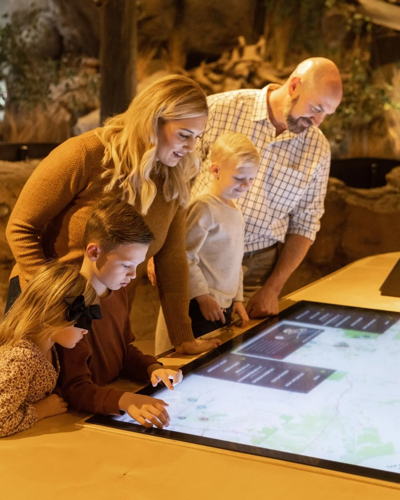
A large-scale multi-user experience was designed around the City of Redding's watershed, allowing visitors to explore how neighborhoods, utilities, and natural resources interact across an interconnected landscape.
Powered by ArcGIS mapping technology, the exhibit translates geographic information into an intuitive, hands-on educational experience.
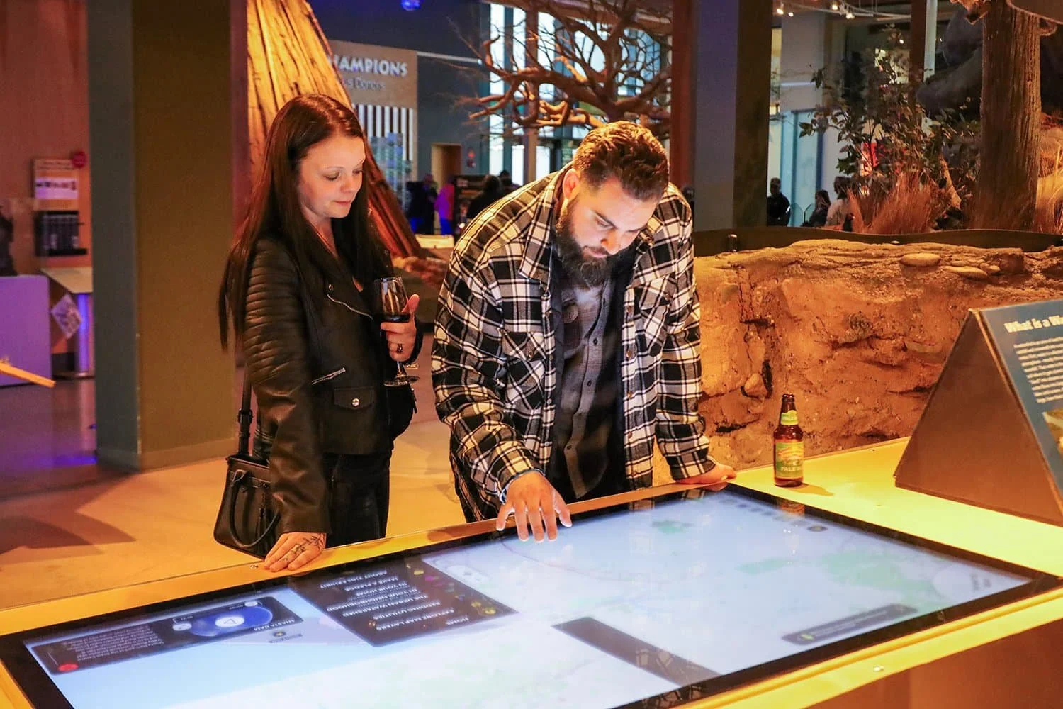
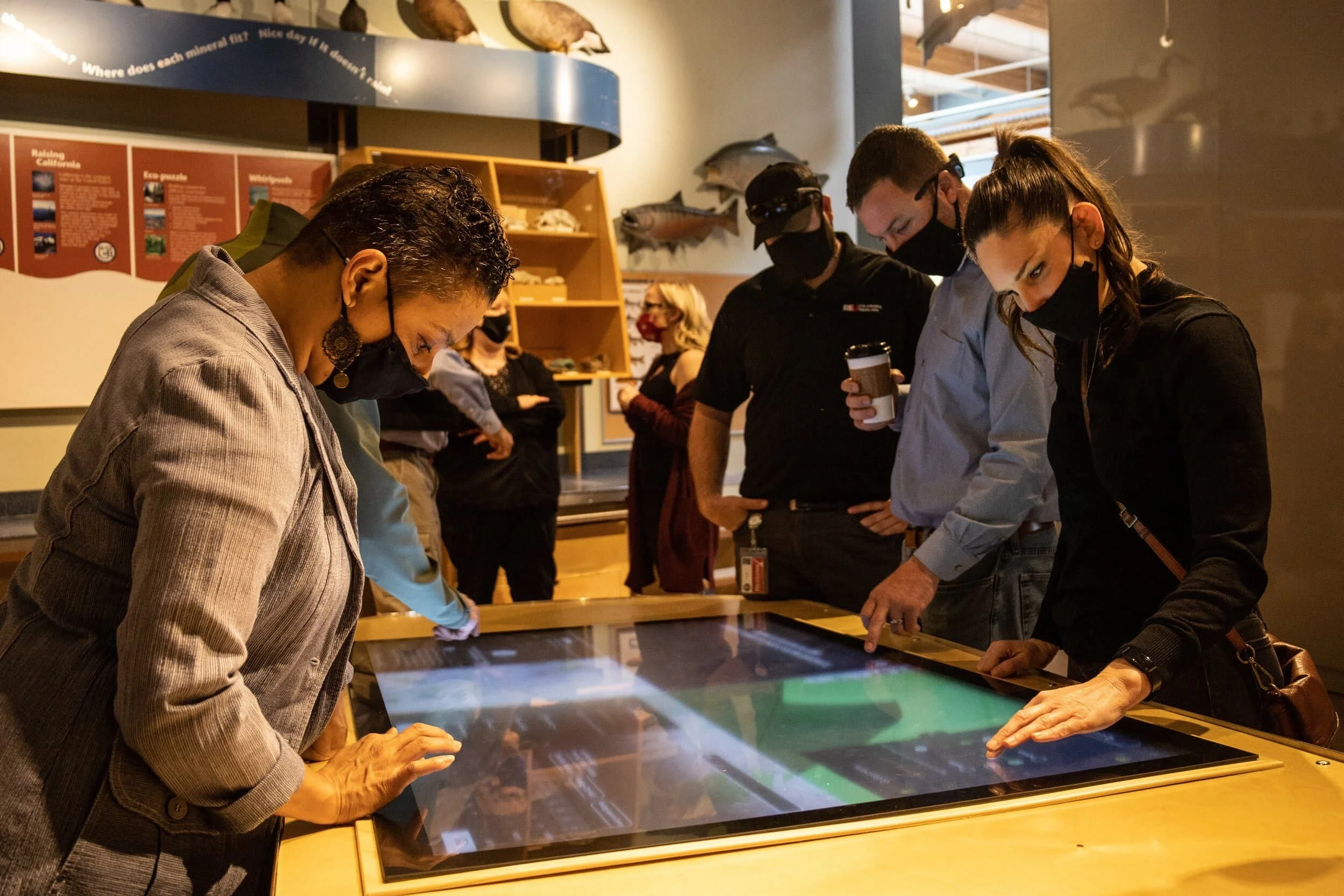
Multi-User Interface Design
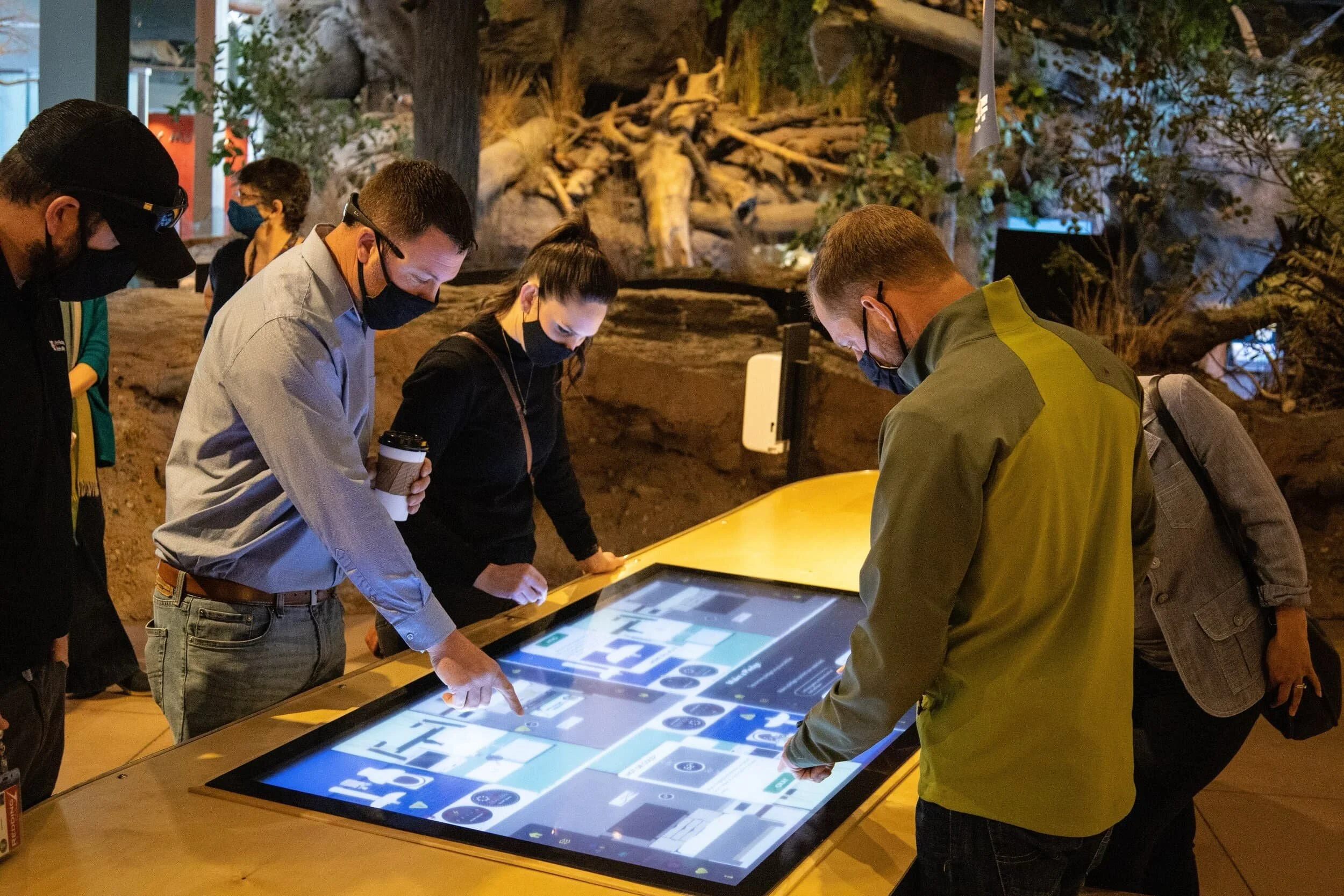
The interface was carefully structured to support up to four simultaneous participants while remaining equally effective for docent-led demonstrations.
Interaction patterns, screen layouts, and navigation systems were designed to maximize collaboration without overwhelming visitors or competing for attention.
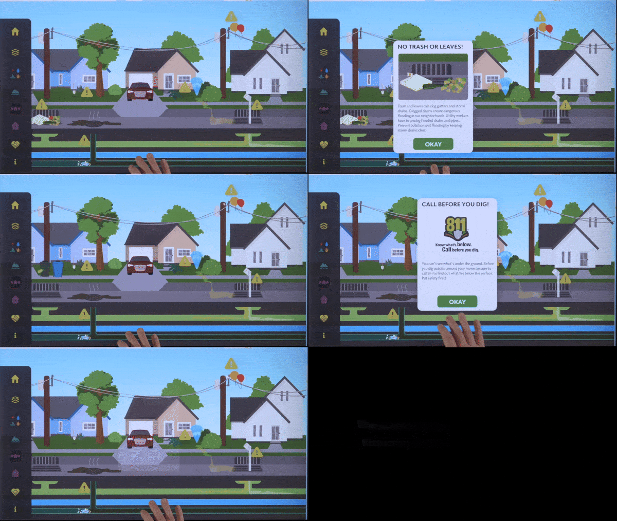
Environmental Visualization
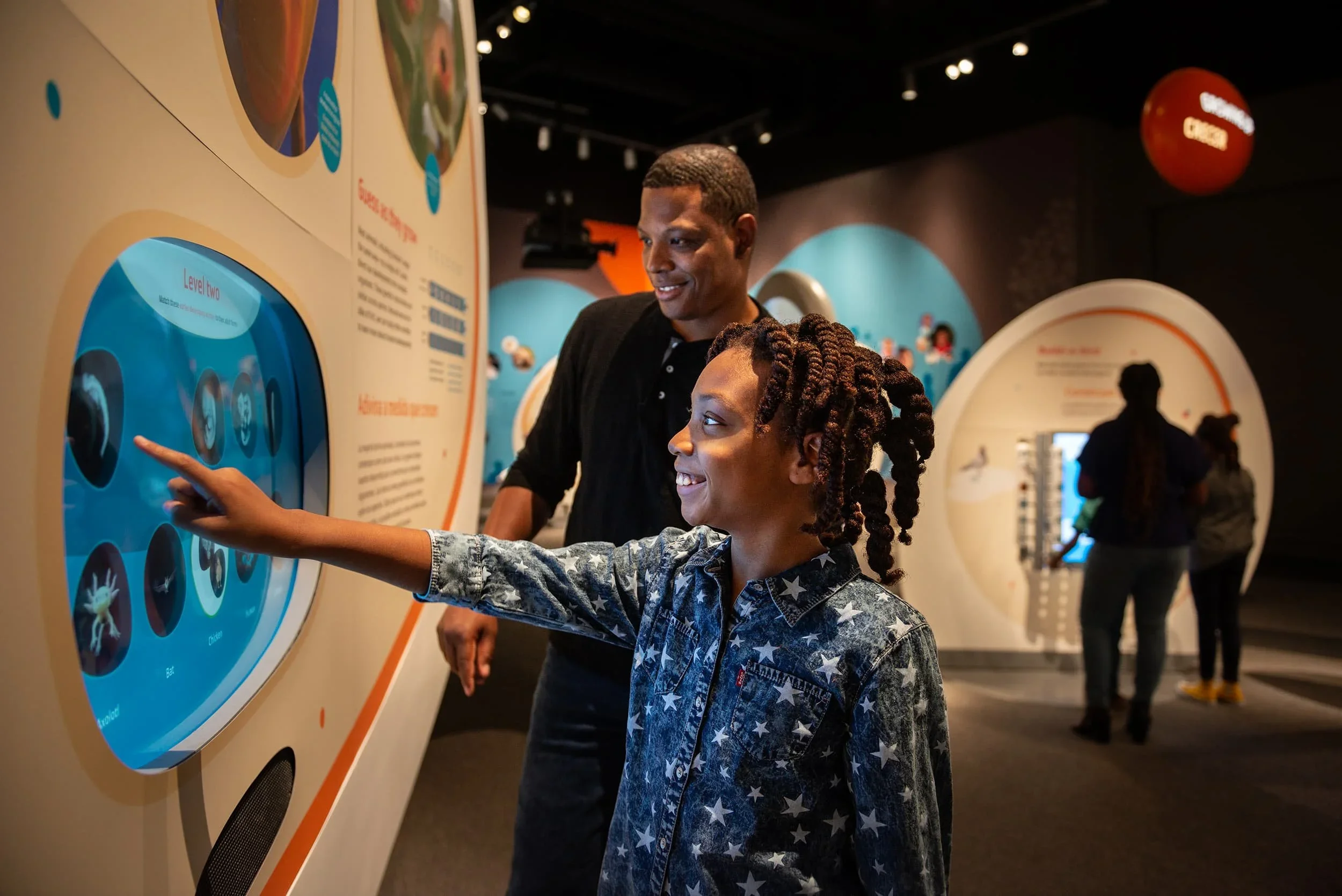
Custom illustrations, animations, and visual effects were developed to communicate environmental change in real time.
Whether demonstrating clogged storm drains, excessive pesticide use, or changing utility conditions, each animation provided immediate visual feedback that reinforced cause-and-effect relationships through interaction.
Geographic Data Integration
ArcGIS data was integrated directly into the experience, connecting real geographic information with educational storytelling.
Rather than presenting maps as static reference material, visitors actively explored their community through an interactive visualization that revealed how infrastructure connects homes, neighborhoods, rivers, and public utilities.

Impact
The completed exhibition transformed complex civic infrastructure into an engaging educational experience that encourages collaboration, curiosity, and environmental awareness.
By combining geographic data, custom animation, and multi-user interaction design, the project helps visitors better understand the hidden systems that support their communities while making technical information approachable for audiences of all ages.